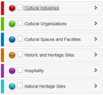
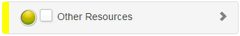
Viewing Layer Symbology
The symbology of a map layer is represented by the colored symbol beside each Category in the Table of Contents(TOC), as shown in the image below. When map layers are turned on, symbols appear as selectable features in the map.
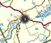
The image below displays multiple features (3) clustered together in a geographic location or area on the map.
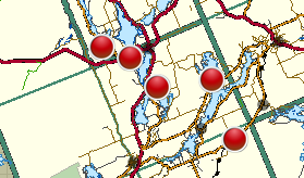
The image below displays individual features in the map.
To turn map layers ON or OFF in the map, refer to the section for "Turning Map Layers On and Off".